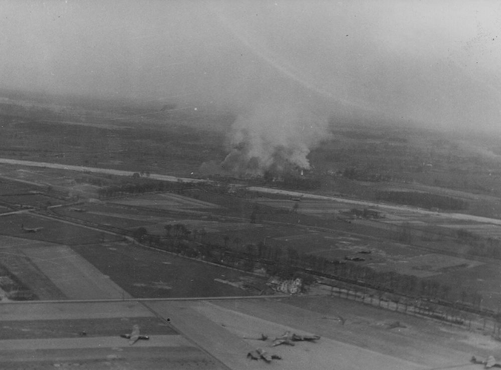
The white line stretching from left to right across the photograph is the unfinished autobahn, and the area covered in smoke beyond it, presumably under heavy artillery fire at the time as it was throughout Operation Varsity, is Ringenberg. Hamminkeln Station is to the left and slightly beyond the road-railway junction in the lower centre-right. The course of the River Issel is the faint line running left to right, roughly equidistant between this railway line and the autobahn. At the point in the centre-left, where the railway meets another road, the road bridge can be found to the right of this junction, in the clearing between two tree lines where it intercepts the river.
Your favourites have been updated. View your favourites by going here.