Most of the maps used by British land and air forces in the Second World War were made by the Geographical Section, General Staff (GSGS, also known as MI 4), operating under the Director of Military Operations and Intelligence. GSGS senior staff were usually Royal Engineer officers with surveying qualifications, although there were a few Royal Artillery or infantry officers. The rest of the staff were civil technical assistants and clerks, together with some RE other ranks.
In peace-time, the role of GSGS was to supply maps to the forces, collect data on foreign survey networks, provide training, and prepare survey data for Expeditionary Force mobilisation. GSGS was organised into small sections, each of which specialised in maps of a particular region.
In 1936, the Directorate of Military Operations and Intelligence (DMO&I) began to map north-eastern France and Belgium at 1:50,000. The volume of work necessitated some being allocated to Ordnance Survey, then under War Office control. The maps contain in these archives are al part of the GSGS series.
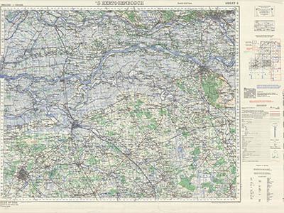
GSGS 2541 Series - Holland 1:100,000
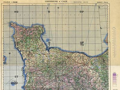
GSGS 2788 Series - France 1:250,000
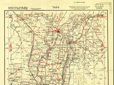
GSGS 3919 Series - Baghdad Dalaim and Hilla Divisions 1:253,440
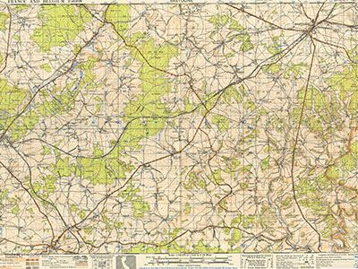
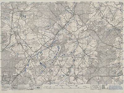
GSGS 4040 Series - N.E. France and Belgium 1:50,000
GSGS 4041 Series - N.E. France and Belgium 1:25,000
GSGS 4042 Series - N.E. France and Belgium 1:250,000
GSGS 4072 Series - Europe (Air) 1:500,000
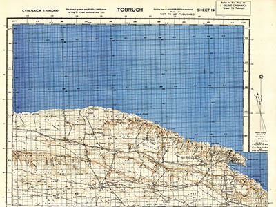
GSGS 4076 Series - Cyrenaica 1:100,000
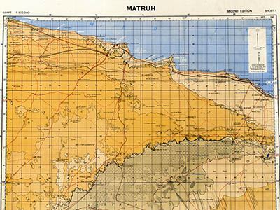
GSGS 4084 Series - Egypt 1:500,000
GSGS 4085 Series - Egypt 1:100,000
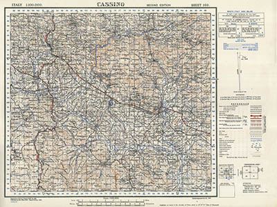
GSGS 4164 Series - Italy 1:100,000
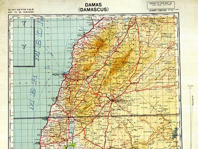
GSGS 4194 Series - Syria 1:500,000
GSGS 4228 Series - Italy 1:25,000
GSGS 4229 Series - Italy 1:50,000
GSGS 4231 Series - Libya 1:500,000
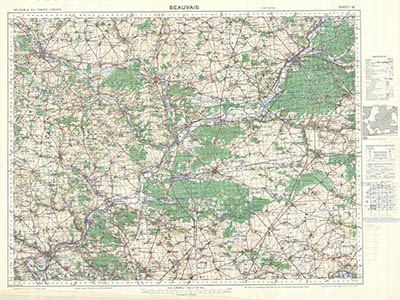
GSGS 4249 Series - France 1:100,000
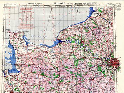
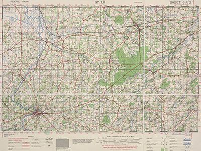
GSGS 4250 Series - France 1:50,000
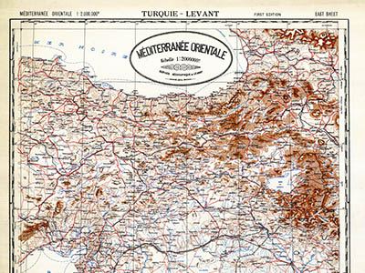
GSGS 4281 Series - Mediterranee 1:2,000,000
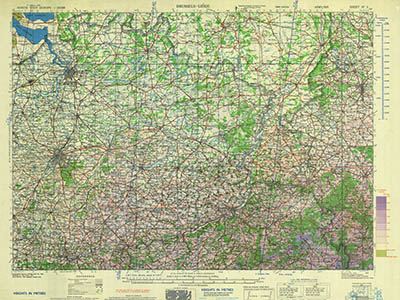
GSGS 4336 Series - N.E. France and Belgium 1:100,000
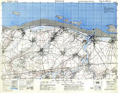
GSGS 4347 Series - France 1:25,000
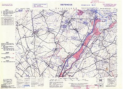
GSGS 4347 Series - France Defence Overprint 1:25,000
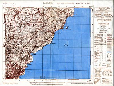
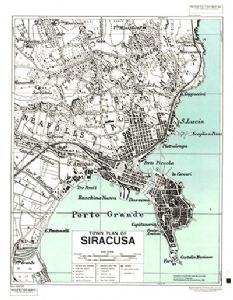
GSGS 4379 Series - Sicily Street Maps 1:7,000
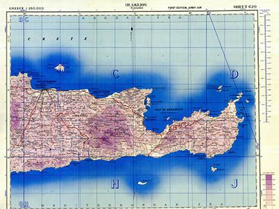
GSGS 4410 Series - Greece 1:250,000
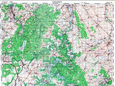
GSGS 4414 Series - Germany 1:25,000
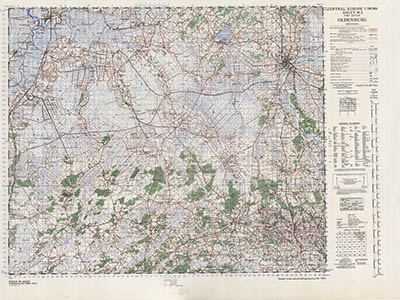
GSGS 4416 Series - Germany 1:100,000
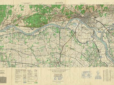
GSGS 4427 Series - Holland 1:25,000
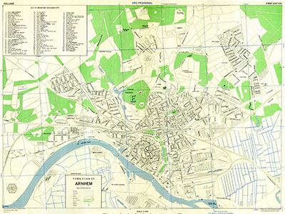
GSGS 4458 Series - Holland Town Plans
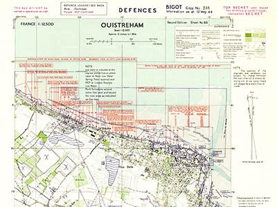
GSGS 4490 Series - France 1:12,500 Defence Overprint
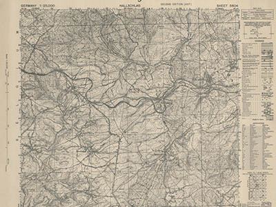
GSGS 4507 Series - Germany 1:50,000
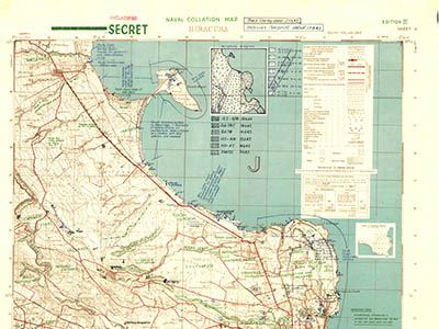
GSGS 8682 Series - Sicilian Naval Collation Maps 1:25,000